"The 3D visualization is just a rendering engine - it takes coordinates and displays them. Whether those coordinates come from VSOP87, direct observations, or manually entered positions doesn't affect the accuracy of the visualization itself. We could swap out VSOP87 for direct observational data and the visualization would look exactly the same as long as the input coordinates match." - Dr. Steven Alonzo A globe model takes RA/Dec coordinates...
Range of lunar declination: approximately +28.6° to -28.6° This range varies over an 18.6-year cycle, known as the lunar nodal cycle. The Moon will not be visible in Union Glacier at all during the trip. It will have a Celestial Declination ranging between 14° to 29° meaning it is above the Tropic of Cancer whereas the Sun will have a Celestial Declination of -23° meaning it will be in your perspective since it's above the Tropic of...
This is a required video lecture 25min for all our second year students. Let us consider a classic relativity scenario. Your friend gets on a rocket ship and blasts off towards Mars at nearly the speed of light. During this journey his clocks tick slower, his lengths contract, and when he arrives to his destination he has aged less than everyone back on Earth. But that's not the only side to this story because from your friend's perspective...
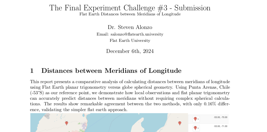
To find the distance at 53°S, we multiply this equatorial distance by the cosine of the latitude. Globe-based result: 66.90 km Flat earth result: 67.01 km Absolute difference: 0.11 km (110 meters) Percentage difference: 0.16% Dr. Alonzo -The Final Experiment: Challenge #3 - SubmissionDownload The use of the cosine function in our formula comes from observational evidence. When we measure the apparent distances between meridians of longitude at...
Sunrise around 5:00am facing 131° SESunset around 10:00pm facing 229° SW17 hours of Daylight Dec 22 edit: There was a typo in section 7, there is a +8 for no reason. TFE-Challenge2-Addment1Download Dr. Alonzo -TFE Challenge #2 - SubmissionDownload Challenge
Flat Earth Lorentz-Latitude Distance Formula The Flat Earth distance formula demonstrates remarkable accuracy across alltest cases provided by Will for this challenge.Maximum error: 28.5 kmMinimum error: 7.6 kmAverage error: 21.35 km Dec 9th Addition 1 was added where we did a short distance calculation. Dec 13th Addition 2 was published where we show why the Firmament has a height of 6371km. Dec 22nd Amendment 2 an adding error was noted when...
Our recent submission to the MCToon Sextant Challenge has successfully demonstrated a three-star fix algorithm based on Flat Earth geometry, with the final location of latitude 30 and longitude -50 confirming its precision. By using celestial data from an almanac and a brute-force computational approach, the algorithm accurately calculates the observer’s position based solely on the angle of elevation of stars, without requiring spherical...
We agree with the results of experiments that seem to disprove the rigid aether model but interpret them as evidence for a fluid aether, which behaves differently. This fluid aether can be influenced or entrained by the motion of large objects like the Earth, explaining why many experiments failed to detect it in the manner expected by earlier rigid aether models. Thus, we propose that a dynamic, fluid aether offers a more accurate...
A compass works on Flat Earth using a radial magnetic field with where there are infinite south poles. A compass works on the globe theory using a dipole magnetic field with two poles.
When a person or object moves further away from an observer, it eventually disappears from sight. This disappearance can happen for two primary reasons: Option 1) Angular Resolution and Perspective:In this situation, the ground is effectively "brought" to your eye level as the object moves away. The person or object appears smaller with distance until it vanishes due to the angular resolution limit of the human eye. The angular resolution limit...